

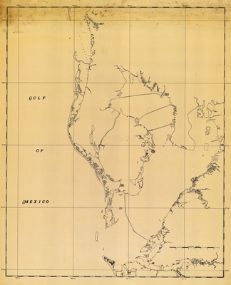
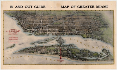
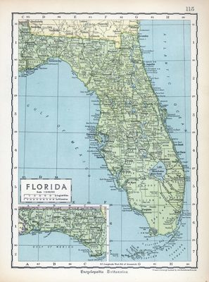
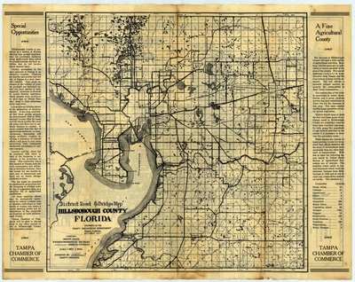
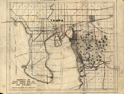
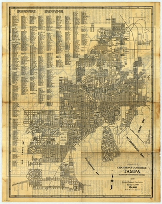
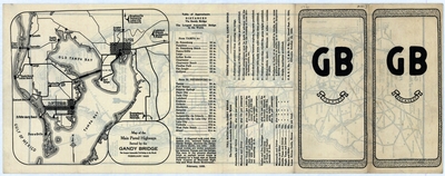
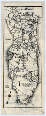
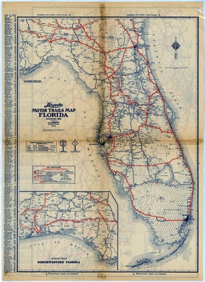
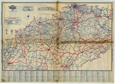
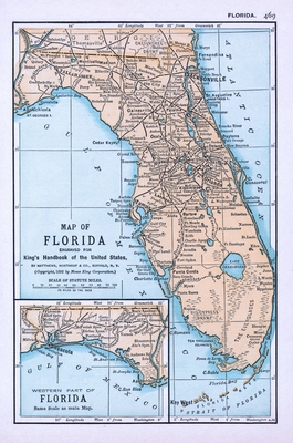
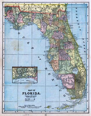
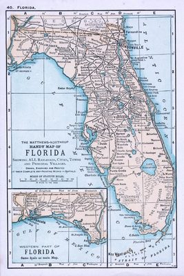
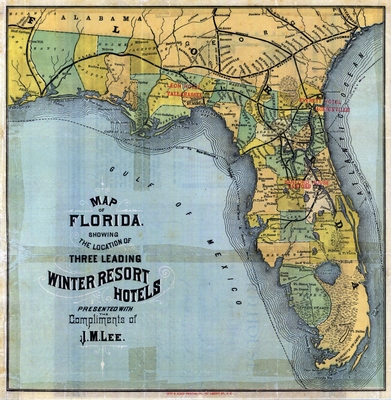
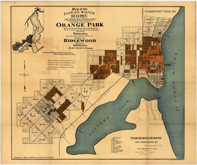
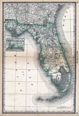
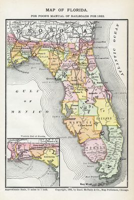
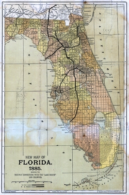
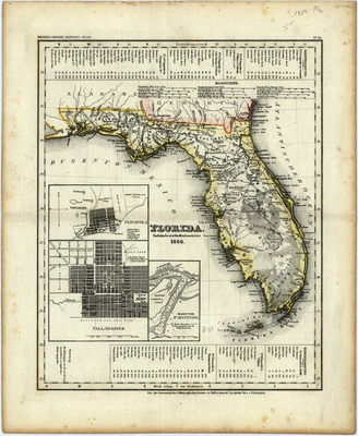
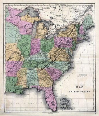
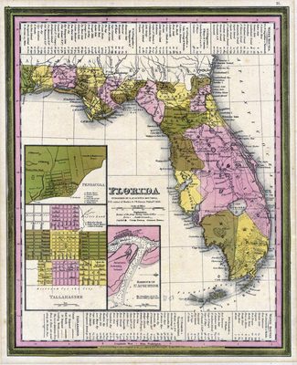
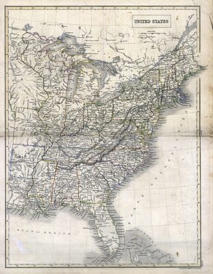
Florida Maps Collection
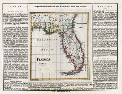
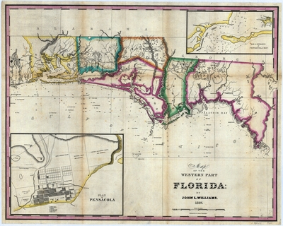
The Florida Map Collection features printed maps that chronicle the early exploration and settlement of Florida by Spain, France, Great Britain, and the United States. The collection is comprised of maps by some of the most respected cartographers, including Abraham Ortelius, Willem Blaue, Herman Moll, and Cornelius Wytfliet.
The digital collection contains over 160 images. Sixty-two images were digitized from maps loaned to the USF Tampa Library by a nationally prominent collector who wishes to remain anonymous. The remaining images are digital copies of maps in the Rare Map Collection at USF Tampa Library Special Collections.
Those interested in maps may also wish to browse our Early Printed Map Collection.
Printing is not supported at the primary Gallery Thumbnail page. Please first navigate to a specific Image before printing.
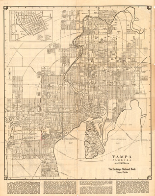
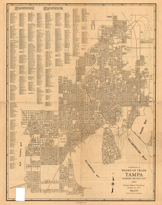

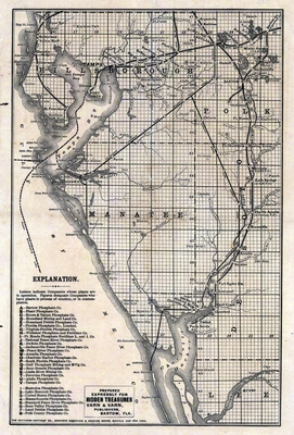
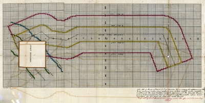
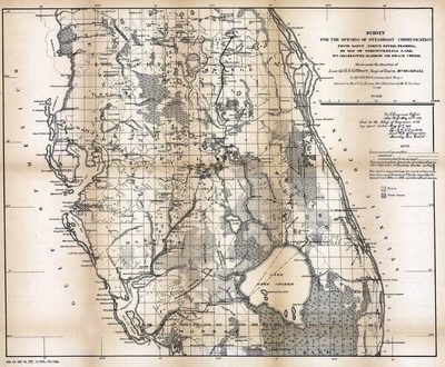
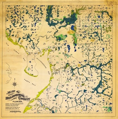
![Map, Hillsboro [sic] River, Florida, 1912](https://digitalcommons.usf.edu/fl_maps_collection/1149/preview.jpg)


")


