
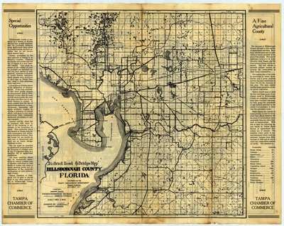
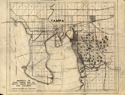
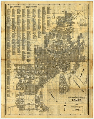
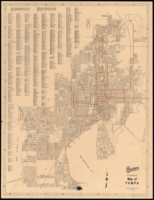
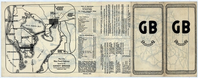
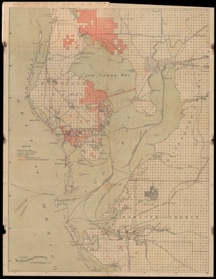
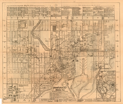
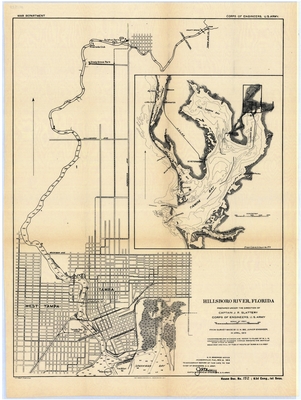
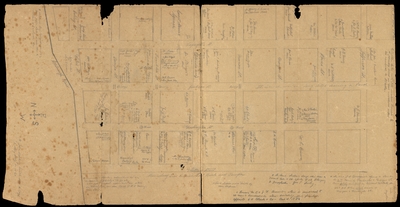
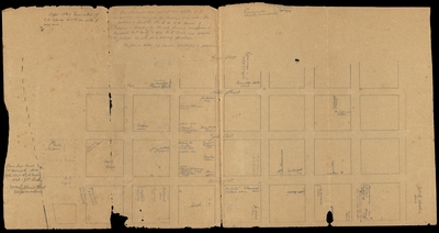
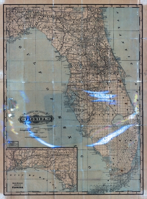
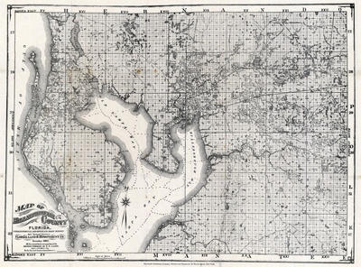
Tampa Bay Area Map Collection
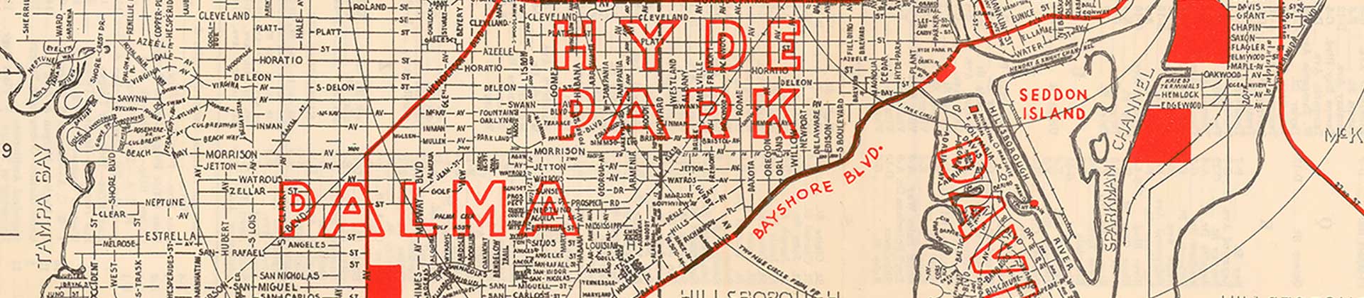
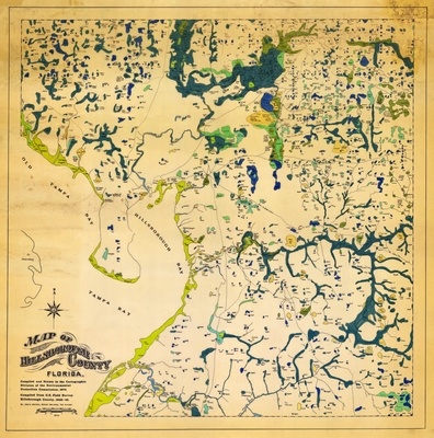
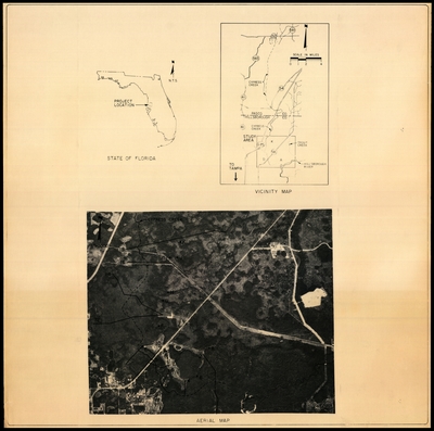
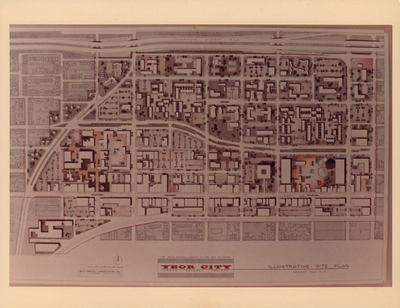
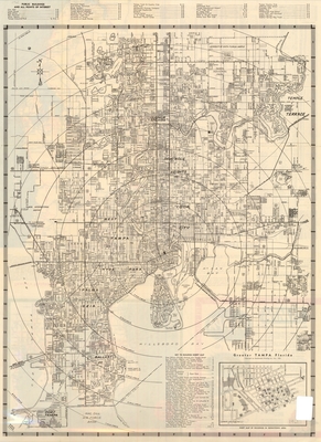
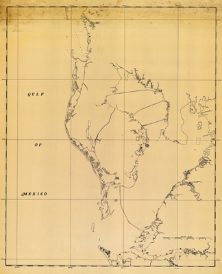
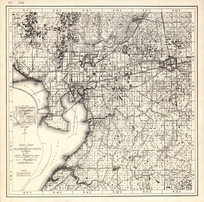
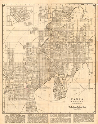
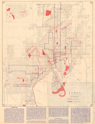
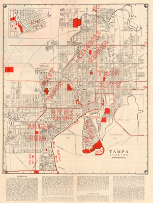
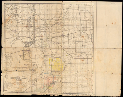
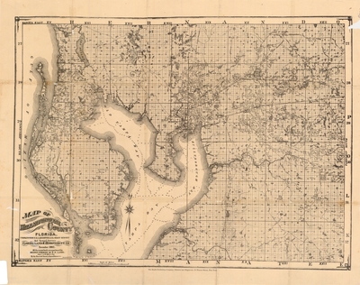
These maps of Tampa and Hillsborough County provide several examples of local maps between 1855 and the 1970s. Researchers can use the maps to study the local built environment over long periods of time.
Additionally, we have digitized the 1926 plat books for the city of Tampa, which can be found in the City of Tampa, 1926 Plat Book Series collection.
Printing is not supported at the primary Gallery Thumbnail page. Please first navigate to a specific Image before printing.


. Urban Renewal Agency")


. Engineering Department")

. Engineering Department")


