
Tampa Bay Area Map Collection
Files
Download Full Text (35.6 MB)
Preview

Creation Date
1853
Abstract
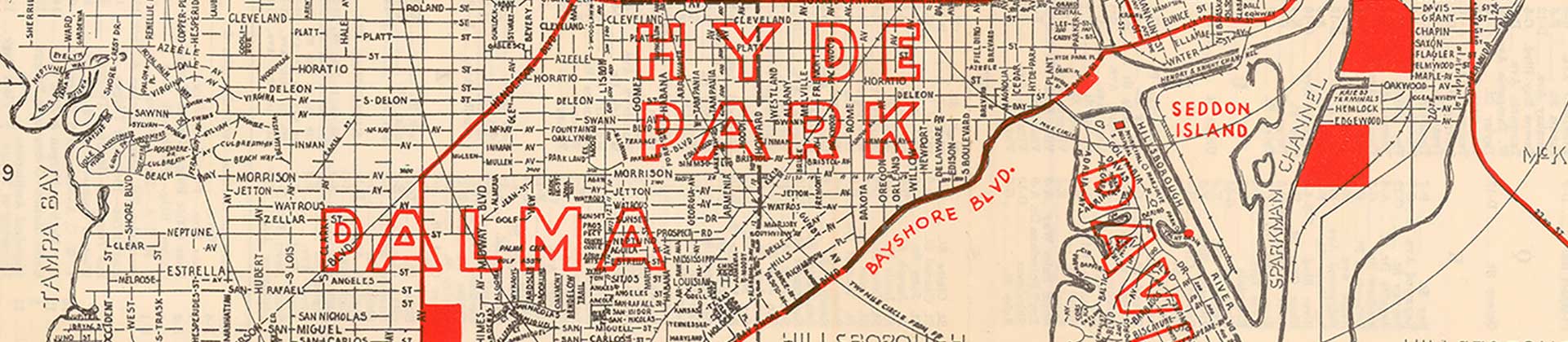
A plat map (also referred to as a cadastral map) for a section of downtown Tampa. The map boundaries are the Hillsborough River to the west, East Street to the east, Whiting Street to the south, and Kennedy Street to the north. The map documents the period 1847-1850.
Alt Text
Cadastral map of Downtown Tampa showing the original street layout. In red are the structures that existed at the time.
Keywords
Cadastrals, Streets, Properties, Public buildings
Extent
1 map
Subject: geographic
Hillsborough County (Fla.); Tampa (Fla.)
Physical Collection
General Map Collection
Language
English
Media Type
Cadastral maps; Plats (Maps)
Identifier
U15-1009
Recommended Citation
Jackson, John, "Cadastral Map of Tampa, 1853" (1853). Tampa Bay Area Map Collection. Image 4.
https://digitalcommons.usf.edu/fl_maps_local/4
Keywords
Cadastrals, Streets, Properties, Public buildings
Rights Statement

