

Florida Maps Collection
Files
Download
Download Full Text (1.6 MB)
Preview
Publisher
Gall & Inglis
Creation Date
1850
Abstract
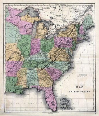
Map of the United States from the Atlantic Coast to the MIMAL states, including Missouri, Arkansas, and Louisiana.
Alt Text
Map of the eastern United States with states shown in varying colors.
Scale
5068800, Scale [1:5,068,800].
Extent
1 map
Physical Collection
Rare Map Collection
Language
English
Media Type
Map
Identifier
U15-0034
Recommended Citation
Murphy, W., "Map, Gall and Inglis' Map of the United States, 1850" (1850). Florida Maps Collection. Image 8.
https://digitalcommons.usf.edu/fl_maps_collection/8
Rights Statement

