
Binder 18: Photographs and Images
Files
Download
Download Full Text (10.2 MB)
Preview
Creation Date
1995
Time Period
circa 1990s
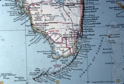
Abstract
A map of South Florida specifically displaying Monroe County.
Alt Text
A detailed map of southern Florida, highlighting major cities and geographical features. The map includes labels for various locations such as Miami, Fort Lauderdale, and the Everglades.
Keywords
Maps, Counties
Extent
1 color photograph
Physical Collection
Box
6
Folder
Binder 18
Digital Date
2024
Media Type
Color photographs
Identifier
O19-02789
Recommended Citation
Ogden, John C., "Map of South Florida Displaying Monroe County" (1995). Binder 18: Photographs and Images. Image 363.
https://digitalcommons.usf.edu/ogden18_images/363
Keywords
Maps, Counties
Rights Statement

