

Gandy Photographs - Natural Scenes and the Environment
Files
Download Full Text (39.0 MB)
Preview
Creation Date
1950
Time Period
circa 1950s-1960s
Abstract
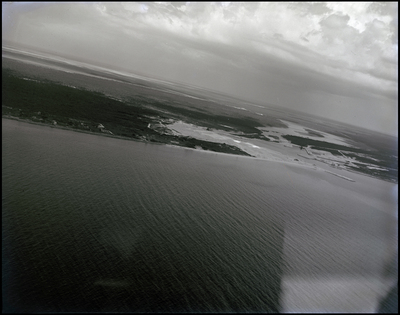
View from an airplane showing roads, vegetations, structures, shoreline, and water of Freeport on Grand Bahama Island, Bahamas.
Alt Text
Aerial view of a coastline with waves crashing against the shore, under a cloudy sky. The landscape includes both tree filled land and water areas.
Keywords
Aerial views, Roads, Buildings, Vegetation, Shorelines, Water
Extent
1 black-and-white photograph
Subject: geographic
Freeport (Bahamas); Grand Bahama Island (Bahamas)
Physical Collection
Box
2
Digital Date
2024
Media Type
Black-and-white photographs
Feedback
Click to provide feedback about the metadata for this photograph.
Identifier
Gandy 02_0381
Creative Commons

This work is licensed under a Creative Commons Attribution 3.0 License.
Recommended Citation
Gandy, George Skip IV, "Aerial View of Freeport, Bahamas" (1950). Gandy Photographs - Natural Scenes and the Environment. Image 76.
https://digitalcommons.usf.edu/gandy_environmental/76
Keywords
Aerial views, Roads, Buildings, Vegetation, Shorelines, Water
