

Files
Download
Download Full Text (10.7 MB)
Preview
Creation Date
11-6-1984
Abstract
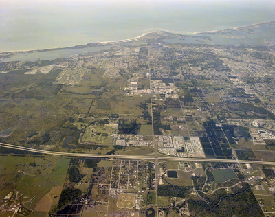
An aerial view of I-75 and Sr 72 Sarasota area, featuring a network of roads, numerous buildings, and the bay area.
Alt Text
Aerial view of a cityscape with surrounding green areas and mountains in the background. The image shows a mix of urban development and natural landscapes.
Keywords
Interstate 75, Aerial photography, Bays
Extent
1 color photograph
Subject: geographic
Sarasota County (Fla.); Sarasota (Fla.)
Physical Collection
Box
27
Digital Date
2024
Media Type
Color photographs
Feedback
Identifier
Gandy 27_1658
Recommended Citation
Gandy, George Skip IV, "I-75 and Sr 72 Sarasota, Sarasota, C" (1984). Gandy Photographs - Aerials. Image 708.
https://digitalcommons.usf.edu/gandy_aerials/708
Keywords
Interstate 75, Aerial photography, Bays
