Tampa Bay Area Map Collection
Alternative Title
Tampa, Florida-The Gateway to the Panama Canal; Tampa, Florida, 1918, The City with a Backing and a Future
Files
Download Full Text (356.6 MB)
Preview

Publisher
Tampa Board of Trade
Creation Date
1918
Abstract
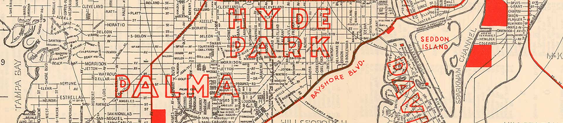
A map demonstrating the general outline of the City of Tampa including rail lines and water facilities, Harbor Developments, and 24-foot channels completed in 1917.
Alt Text
Advertisement for the Tampa Port depicting a panoramic view of Tampa looking North from the mouth of the Hillsborough River. Image is surrounded by statistics about the port.
Keywords
Railroad tracks, Transportation, Shipping
Extent
1 map; 43.2 x 50.7 cm
Subject: geographic
Hillsborough County (Fla.); Tampa (Fla.)
Physical Collection
Floridiana Collection
Call Number
Language
English
Digital Date
2025
Media Type
Pictorial maps
Note
This map was originally published in 1918 but reprinted for Tampa Port Day, September 29, 1974.
Recommended Citation
Barnes Crosby Company Chicago, "Map, Tampa, Florida, The Gateway to the Panama Canal, 1918" (1918). Tampa Bay Area Map Collection. Image 17.
https://digitalcommons.usf.edu/fl_maps_local/17
Keywords
Railroad tracks, Transportation, Shipping
Rights Statement