
Tampa Bay Area Map Collection
Files
Download
Download Full Text (482.5 MB)
Preview
Publisher
Hillsborough County (Fla.)
Creation Date
1934
Abstract
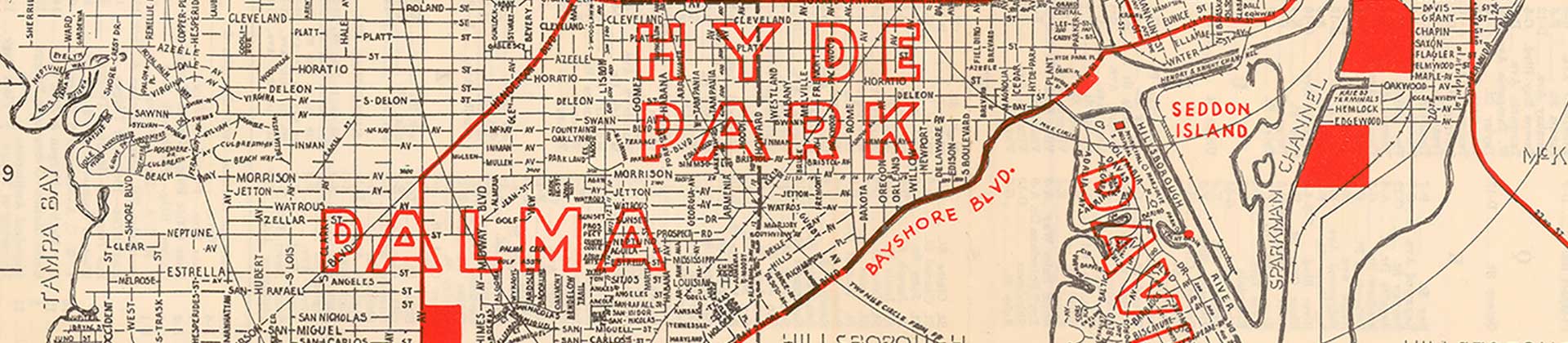
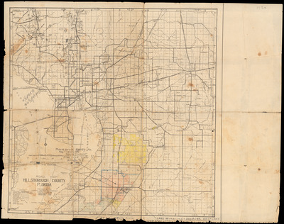
A road map of Hillsborough County created by the Hillsborough County Engineering Department.
Alt Text
Road Map of Hillsborough County. The edges of the map denote township and ranges.
Keywords
Roads, Streets
Extent
1 map
Subject: geographic
Hillsborough County (Fla.); Tampa (Fla.); Temple Terrace (Fla.); Plant City (Fla.)
Physical Collection
General Map Collection
Language
English
Media Type
City maps; Regional maps
Identifier
fl_maps_local_1014
Recommended Citation
Hillsborough County Engineering Dept., "Road Map of Hillsborough County, Florida, 1934" (1934). Tampa Bay Area Map Collection. Image 15.
https://digitalcommons.usf.edu/fl_maps_local/15
Keywords
Roads, Streets
