
Tampa Bay Area Map Collection
Files
Download Full Text (419.9 MB)
Preview
Publisher
St. Petersburg Investment Co.
Creation Date
1-1-1924
Abstract
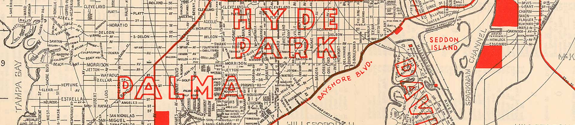
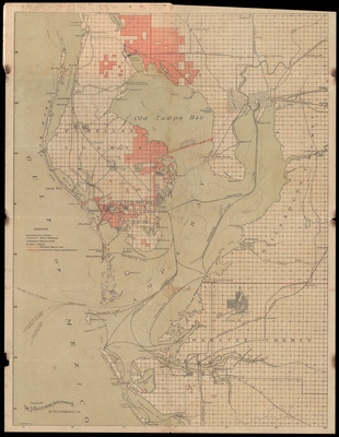
A map of Tampa and St. Petersburg showing railroads, existing and proposed trolley lines, existing highways, highways under construction, and ferry lines. Includes text on panel. Dated before 1925 because Gandy Bridge opened November 1924 and map shows "proposed bridge" where Gandy is located.
Alt Text
Map of the Greater Tampa area showing Pinellas, Hillsborough, and Manatee Counties. Map shows existing an proposed transportation routes for Pinellas County.
Keywords
Railroads, Street-railroads, Gandy Bridge (Hillsborough County Fla.)
Extent
1 map
Subject: geographic
Hillsborough County (Fla.); Pinellas County (Fla.); Tampa (Fla.); St. Petersburg (Fla.)
Physical Collection
General Map Collection
Call Number
Language
English
Digital Date
2025
Media Type
Maps
Identifier
fl_maps_local_1013
Recommended Citation
St. Petersburg Investment Co., "The Playground of the Nation, Tampa and St. Petersburg, Florida, before 1925" (1924). Tampa Bay Area Map Collection. Image 14.
https://digitalcommons.usf.edu/fl_maps_local/14
Keywords
Railroads, Street-railroads, Gandy Bridge (Hillsborough County Fla.)
