

Florida Maps Collection
Alternative Title
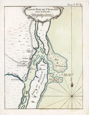
Map, Map of the Port of St. Augustine in Florida, No. 39, 1764
Files
Download
Download Full Text (948 KB)
Preview
Creation Date
1764
Abstract
A map of the plan of St. Augustine and its port. Relief shown pictorially. Sounds shown in feet.
Alt Text
Plan of the port of St. Augustine with depths labeled.
Keywords
Harbors
Scale
100000, Scale [ca. 1:100,000].
Extent
1 map
Subject: geographic
St. Johns County (Fla.); St. Augustine (Fla.)
Physical Collection
Rare Map Collection
Language
French
Media Type
Map
Identifier
U15-9043
Recommended Citation
Bellin, Jacques Nicolas, "Map, Plan du Port de St. Augustin dans la Floride, No. 39, 1764" (1764). Florida Maps Collection. Image 92.
https://digitalcommons.usf.edu/fl_maps_collection/92
Keywords
Harbors
Rights Statement

