

Florida Maps Collection
Files
Download
Download Full Text (1.2 MB)
Preview
Publisher
P. Du-Val
Creation Date
1665
Abstract
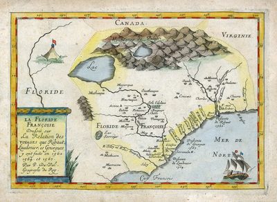
A map depicting the French efforts to colonize the Carolinas and the region south of Virginia.
Alt Text
Map showing the French efforts to colonize the Carolina region in the 1560's.
Scale
4200000, Scale [ca. 1:4,200,000]
Extent
1 map
Subject: geographic
France; Virginia; North Carolina; South Carolina
Language
French
Media Type
Map
Identifier
U15-9042
Recommended Citation
Duval, Pierre, "Map, La Floride Françoise, 1665" (1665). Florida Maps Collection. Image 91.
https://digitalcommons.usf.edu/fl_maps_collection/91
Rights Statement

