

Florida Maps Collection
Files
Download
Download Full Text (1.4 MB)
Preview
Publisher
Johnson and Ward
Creation Date
1863
Abstract
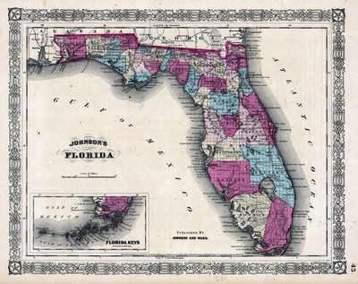
A map of Florida published by Johnson and Ward.
Alt Text
Map of Florida with counties shown in varying colors. An inset map shows the southern tip of Florida.
Scale
2500000, Scale [ca. 1:2,500,000]
Extent
1 map
Physical Collection
Rare Map Collection
Call Number
Language
English
Media Type
Map
Identifier
U15-0059
Recommended Citation
Johnson, A. J., "Map, Johnson's Florida, 1863" (1863). Florida Maps Collection. Image 78.
https://digitalcommons.usf.edu/fl_maps_collection/78
Rights Statement

