

Florida Maps Collection
Files
Download
Download Full Text (1.2 MB)
Preview
Publisher
John Bartholomew and Son
Creation Date
1930
Time Period
circa 1930s
Abstract
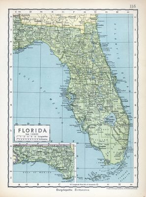
A map of Florida from the Encyclopedia Britannica, circa the 1930s.
Alt Text
Map of Florida with counties and cities labeled. An inset map shows the panhandle of Florida.
Scale
Scale 1:3,150,000.
Extent
1 map
Physical Collection
Touchton Map Collection
Holding Location
Tampa Bay History Center
Language
English
Media Type
Map
Identifier
U15-9053
Recommended Citation
John Bartholomew and Son, "Map, Florida, circa 1930s" (1930). Florida Maps Collection. Image 29.
https://digitalcommons.usf.edu/fl_maps_collection/29
Rights Statement

