

Florida Maps Collection
Files
Download
Download Full Text (1.4 MB)
Preview
Publisher
Mast, Crowell & Kirkpatrick
Creation Date
1890
Abstract
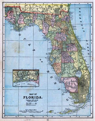
A map of Florida with an inset for the westernmost part of the Panhandle.
Alt Text
Map of Florida with counties shown in varying colors. An inset map shows the panhandle of Florida.
Scale
2400000, Scale [ca. 1:2,400,000]
Extent
1 map
Physical Collection
Rare Map Collection
Language
English
Media Type
Map
Identifier
U15-0087
Recommended Citation
Mast, Crowell & Kirkpatrick, "Map, Florida, 1890" (1890). Florida Maps Collection. Image 20.
https://digitalcommons.usf.edu/fl_maps_collection/20
Rights Statement

