

Florida Maps Collection
Files
Download
Download Full Text (29.7 MB)
Preview
Publisher
Rand, McNally and Company
Creation Date
1883
Abstract
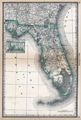
A hand-colored map of Florida showing counties, cities and towns, railroads and inland waters.
Alt Text
Map of Florida showing counties, cities, and railroads. An inset map is shown for the Florida panhandle.
Scale
2000000, Scale [ca. 1:2,000,000]
Extent
1 map
Physical Collection
Rare Map Collection
Language
English
Media Type
Map
Identifier
U15-0118
Recommended Citation
Rand, McNally and Company, "Map, Florida, 1883" (1883). Florida Maps Collection. Image 126.
https://digitalcommons.usf.edu/fl_maps_collection/126
Rights Statement

