
Binder 18: Photographs and Images
Files
Download
Download Full Text (4.5 MB)
Preview
Creation Date
1995
Time Period
circa 1990s
Abstract
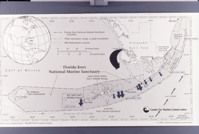
A map of Florida Keys National Marine Sanctuary.
Alt Text
A map of the Florida Keys National Marine Sanctuary with labeled areas and boundaries, including a small globe inset showing its location within North America. The map highlights various protected zones and features within the sanctuary.
Keywords
Maps, Nature, Florida Keys National Marine Sanctuary (Fla.)
Extent
1 color photograph
Physical Collection
Box
6
Folder
Binder 18
Digital Date
2024
Media Type
Color photographs
Identifier
O19-02795
Recommended Citation
Ogden, John C., "Map of Florida Keys National Marine Sanctuary, D" (1995). Binder 18: Photographs and Images. Image 369.
https://digitalcommons.usf.edu/ogden18_images/369
Keywords
Maps, Nature, Florida Keys National Marine Sanctuary (Fla.)
Image Location
Latitude
24.666940
Longitude
-81.544170
Rights Statement

