Audubon Society Okeechobee-Kissimmee and Chandler Warden - Records
Files
Download Full Text (15.2 MB)
Publication Date
1998
Abstract
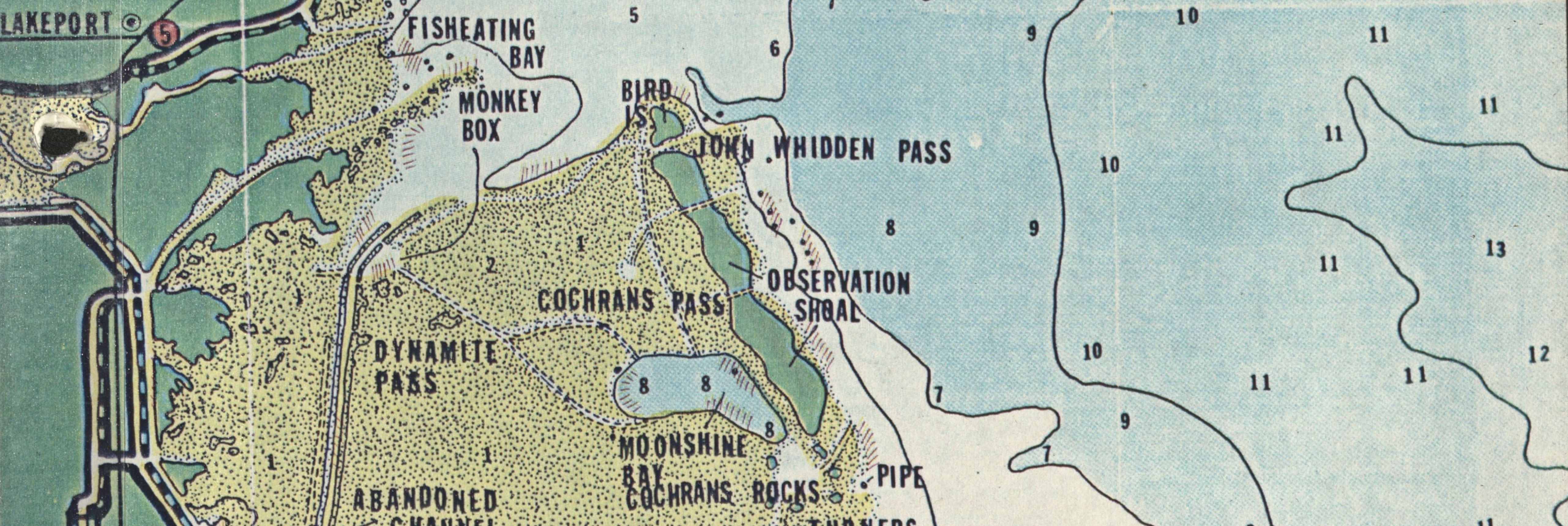
Includes an enlarged plat showing relationship of Indian Hammock and Kissimmee Prairie Sanctuary, a topographic map, a 1998 map of Haynes' property, an aerial photograph, and a map showing the National Audubon's Kissimmee Prairie Sanctuary to other proposed or existing conservation lands.
Keywords
National Audubon Society, Conservation projects (Natural resources), Topographic
Extent
6 pages
Geographic Location
Okeechobee (Fla.); Kissimmee Prairie Preserve (Fla.)
Physical Collection
National Audubon Society Okeechobee/Kissimmee and Chandler Warden Records
Language
English
Media Type
Maps
Type
Text
Identifier
L41-00077
Recommended Citation
National Audubon Society, "Maps, Haynes Williams Project, Kissimmee Prairie Sanctuary, 1998" (1998). Audubon Society Okeechobee-Kissimmee and Chandler Warden - Records. 109.
https://digitalcommons.usf.edu/lorida_records/109


