
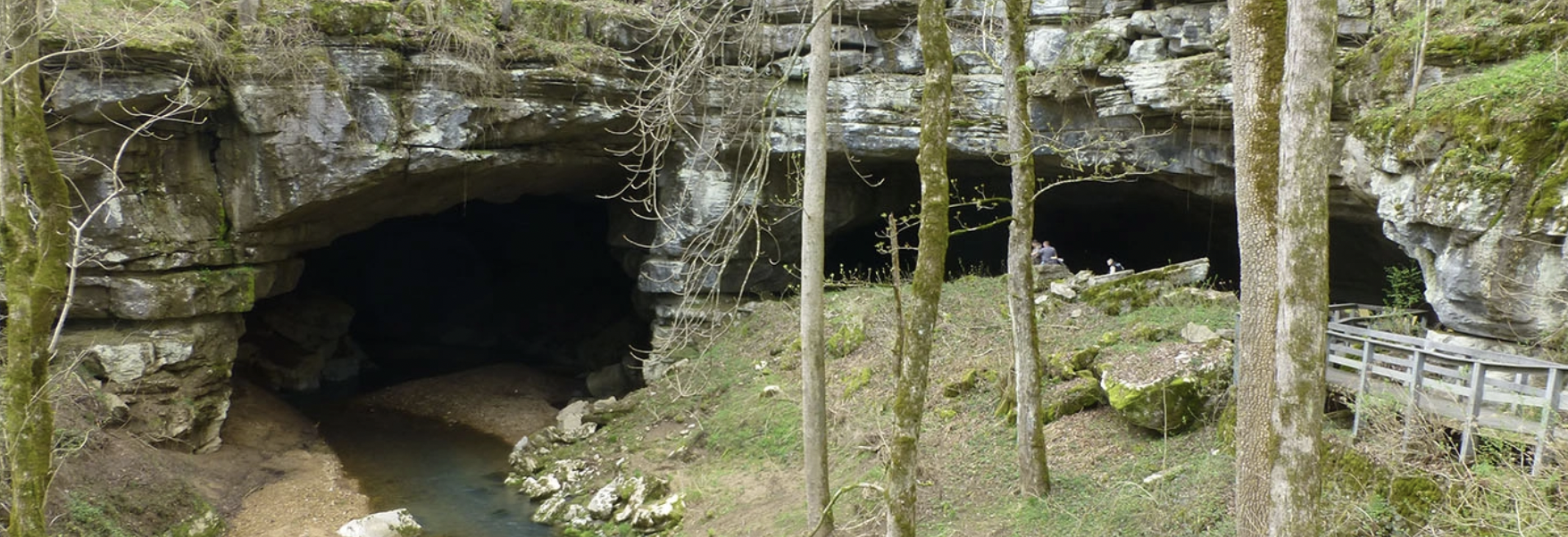
Karst in 3D
2017 07 19 Sinkhole Simplified 3d Mesh
Files
Link to Full Text
View 3D Model
Publication Date
7-19-2017
Abstract
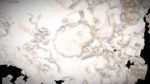
Pasco County sinkhole in Land O Lakes, FL 3D mesh created from drone photogrammetry data acquired by Halo Imaging and shared with the USF Libraries. This is from the second day of aerial survey information, performed five days post event beginning. HALO is flying with the RTK enabled Ebee plus with the S.O.D.A. camera as well as the Parrot Sequoia MSI sensor.
Keywords
drone, lidar, sink, karst, pix4d photogrammetry, university of south florida, pasco county, halo imaging
Alt Text
A 3D white and cream mesh model of a sinkhole.
Recommended Citation
University of South Florida Libraries, "2017 07 19 Sinkhole Simplified 3d Mesh" (2017). Karst in 3D. 4.
https://digitalcommons.usf.edu/karst_in_3d/4
