

Gandy Photographs - Commercial
Files
Download Full Text (5.6 MB)
Preview
Creation Date
1950
Time Period
circa 1950s-1960s
Abstract
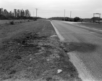
Road across from the Henderson Hillsborough International Airport which was formerly known as Hillsborough Army Airfield until it was renamed after WWII and turned into a commercial airport.
Alt Text
A two-lane road stretching into the distance, with grassy fields on either side and utility poles lining the road. The sky is overcast, and there are trees visible in the background.
Keywords
Unincorporated areas, Real estate development
Extent
1 black-and-white photograph
Subject: geographic
Hillsborough County (Fla.); Tampa (Fla.)
Physical Collection
Box
6
Digital Date
2024
Media Type
Black-and-white photographs
Feedback
Click to provide feedback about the metadata for this photograph.
Identifier
Gandy 06_0858
Creative Commons

This work is licensed under a Creative Commons Attribution-Noncommercial 3.0 License
Recommended Citation
Gandy, George Skip IV, "Road Across Henderson Hillsborough International Airport, Tampa A" (1950). Gandy Photographs - Commercial. Image 2372.
https://digitalcommons.usf.edu/gandy_commercial/2372
Keywords
Unincorporated areas, Real estate development
