

Files
Download
Download Full Text (10.7 MB)
Preview
Creation Date
6-2-1990
Abstract
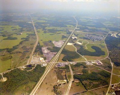
An aerial view of Wesley Chapel looking south over the intersection of Interstate Highway 275 and State Road 54.
Alt Text
Aerial view of a landscape with roads, fields, and buildings. The scene includes patches of greenery and developed areas.
Keywords
Interstate Highway System, Roads
Extent
1 color aerial photograph
Subject: geographic
Pasco County (Fla.); Wesley Chapel (Fla.)
Physical Collection
Box
28
Digital Date
2024
Media Type
Aerial photographs
Feedback
Identifier
Gandy 28_0084
Recommended Citation
Gandy, George Skip IV, "Interstate Highway 275 and State Road 54, B" (1990). Gandy Photographs - Aerials. Image 910.
https://digitalcommons.usf.edu/gandy_aerials/910
Keywords
Interstate Highway System, Roads
