

Files
Download
Download Full Text (8.4 MB)
Preview
Creation Date
8-27-1983
Abstract
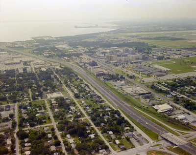
An aerial photograph displaying the intersection of Lois Avenue with Interstate Highway 275. Also pictured is Cypress Street and Tampa Bay.
Alt Text
Aerial view of a cityscape with residential areas, roads, and industrial buildings near a body of water. The landscape includes green spaces and various urban structures.
Keywords
Interstate Highway System, Roads
Extent
1 color aerial photograph
Subject: geographic
Hillsborough County (Fla.); Tampa (Fla.); Tampa Bay (Fla.)
Physical Collection
Box
28
Digital Date
2024
Media Type
Aerial photographs
Feedback
Identifier
Gandy 28_0031
Recommended Citation
Gandy, George Skip IV, "Aerial View of Interstate Highway 275, Cypress Street, and Lois Avenue B" (1983). Gandy Photographs - Aerials. Image 857.
https://digitalcommons.usf.edu/gandy_aerials/857
Keywords
Interstate Highway System, Roads
