

Files
Download Full Text (4.7 MB)
Preview
Creation Date
1960
Time Period
circa 1960s-1970s
Abstract
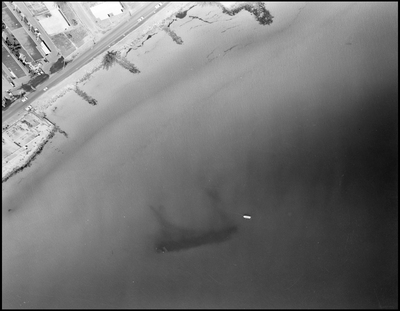
Aerial perspective showing a coastal roadway running parallel to the shoreline of Tampa Bay, with visible structures and a boat near the water's edge.
Alt Text
Aerial view of a coastal area with buildings and a large body of water, showing a dark shape beneath the surface. The shoreline features several docks or piers extending into the water.
Keywords
Aerial views, Coastlines, Ocean, Highways
Extent
1 black-and-white photograph
Subject: geographic
Hillsborough County (Fla.); Tampa (Fla.)
Physical Collection
Box
6
Digital Date
2024
Media Type
Black-and-white photographs
Feedback
Click to provide feedback about the metadata for this photograph.
Identifier
Gandy 06_0040
Recommended Citation
Gandy, George Skip IV, "Aerial View of Coastal Roadway and Shoreline" (1960). Gandy Photographs - Aerials. Image 76.
https://digitalcommons.usf.edu/gandy_aerials/76
Keywords
Aerial views, Coastlines, Ocean, Highways
