

Files
Download
Download Full Text (9.6 MB)
Preview
Creation Date
11-20-1987
Abstract
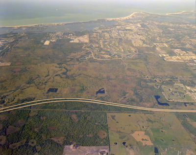
An aerial view of I-75 North of Clark Road area in Sarasota, featuring a network of roads, numerous buildings and bay area.
Alt Text
Aerial view of a landscape with a winding road, fields, and a coastline in the distance. The terrain includes various shades of green and brown, indicating different types of vegetation and land use.
Keywords
Interstate 75, Aerial photography, Roads
Extent
1 color photograph
Subject: geographic
Sarasota County (Fla.); Sarasota (Fla.)
Physical Collection
Box
27
Digital Date
2024
Media Type
Color photographs
Feedback
Identifier
Gandy 27_1671
Recommended Citation
Gandy, George Skip IV, "I-75 North of Clark, Sarasota" (1987). Gandy Photographs - Aerials. Image 717.
https://digitalcommons.usf.edu/gandy_aerials/717
Keywords
Interstate 75, Aerial photography, Roads
