

Files
Download
Download Full Text (8.6 MB)
Preview
Creation Date
11-6-1984
Abstract
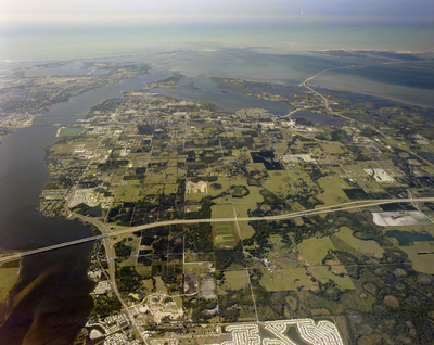
An aerial view of I-75 and Sarasota area, featuring a network of roads, numerous buildings, a river flowing through, and the bay area.
Alt Text
Aerial view of a coastal city with waterways and green areas, showing urban development and infrastructure. The landscape includes roads, buildings, and patches of greenery extending towards the horizon.
Keywords
Interstate 75, Aerial photography, Rivers, Bays
Extent
1 color photograph
Subject: geographic
Manatee County (Fla.); Palmetto (Fla.)
Physical Collection
Box
27
Digital Date
2024
Media Type
Color photographs
Feedback
Identifier
Gandy 27_1648
Recommended Citation
Gandy, George Skip IV, "I-75 and Sarasota, Palmetto" (1984). Gandy Photographs - Aerials. Image 701.
https://digitalcommons.usf.edu/gandy_aerials/701
Keywords
Interstate 75, Aerial photography, Rivers, Bays
