

Files
Download
Download Full Text (10.8 MB)
Preview
Creation Date
3-26-1979
Abstract
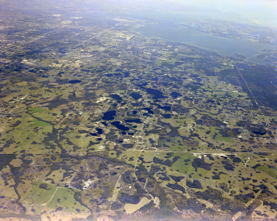
A high-altitude aerial photograph of Tampa featuring a forested area, an extensive road network, and numerous lakes around the city.
Alt Text
Aerial view of a patchwork landscape with green fields and scattered water bodies, extending towards a distant shoreline under a clear sky. The terrain features a mix of vegetation and open areas, with roads crisscrossing the region.
Keywords
Aerials, Cities, Lakes, Bays
Extent
1 color photograph
Subject: geographic
Hillsborough County (Fla.); Tampa (Fla.)
Physical Collection
Box
27
Digital Date
2024
Media Type
Color photographs
Feedback
Identifier
Gandy 27_0416
Recommended Citation
Gandy, George Skip IV, "Tampa High Altitude Aerial Photo, F" (1979). Gandy Photographs - Aerials. Image 619.
https://digitalcommons.usf.edu/gandy_aerials/619
Keywords
Aerials, Cities, Lakes, Bays
