

Files
Download
Download Full Text (8.5 MB)
Preview
Creation Date
1970
Time Period
circa 1970s-1980s
Abstract
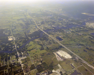
A high-altitude aerial photograph of East Tampa and the Alafia River, showing the city, various land areas like construction and agriculture, with the river flowing through.
Alt Text
Aerial view of a landscape with roads, buildings, and green fields. The scene includes water bodies and various urban structures.
Keywords
Aerials, Cities, Rivers
Extent
1 color photograph
Subject: geographic
Hillsborough County (Fla.); Tampa (Fla.)
Physical Collection
Box
27
Digital Date
2024
Media Type
Color photographs
Feedback
Identifier
Gandy 27_0344
Recommended Citation
Gandy, George Skip IV, "East Tampa and Alafia River High Altitude Aerial Photo" (1970). Gandy Photographs - Aerials. Image 551.
https://digitalcommons.usf.edu/gandy_aerials/551
Keywords
Aerials, Cities, Rivers
