
Early Printed Map Collection
Alternative Title
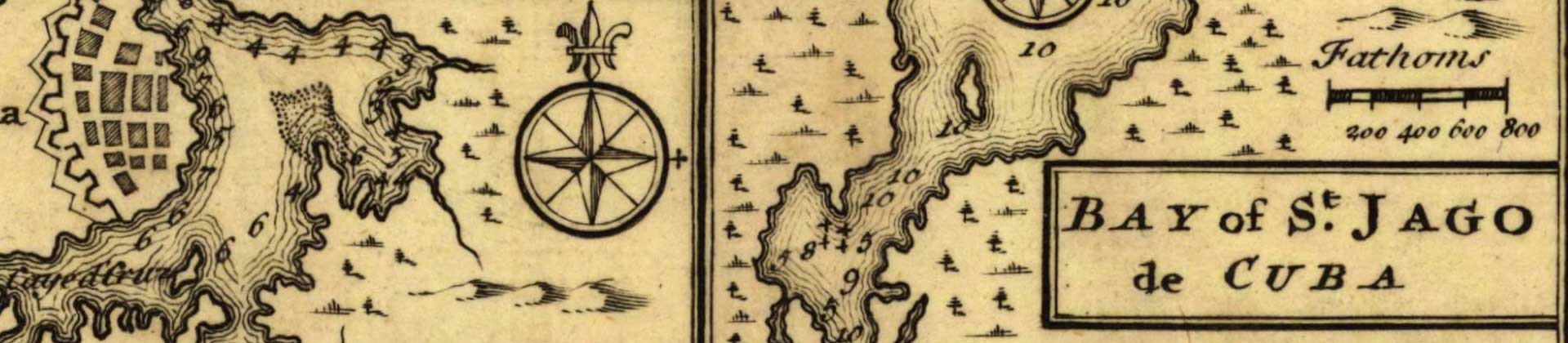
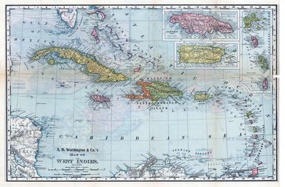
A.D. Worthington and Company's map of the West Indies
Files
Download
Download Full Text (7.7 MB)
Preview
Publisher
Rand, McNally ( Chicago, Ill. )
Time Period
c1892
Geographic Location
West Indies
Scale
6336000, Scale [ca. 1:6,336,000].
Coordinates
26 x -86, 10 x -86, 10 x -60, 26 x -60 ( Map Coverage )
Physical Collection
Early Printed Map collection (Rare Maps)
Holding Location
University of South Florida
Language
English
Media Type
cartographic
Format
Map
Identifier
U16-0128-B
Recommended Citation
A.D. Worthington & Co., "A.D. Worthington & Co.'s map of the West Indies" (2021). Early Printed Map Collection. Image 24.
https://digitalcommons.usf.edu/fl_maps_early/24
Rights Statement

