

Florida Maps Collection
Files
Download
Download Full Text (1.1 MB)
Preview
Publisher
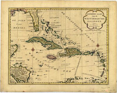
[I. Tirion
Creation Date
1769
Time Period
1769
Keywords
West Indies, Florida
Subject: geographic
West Indies, Florida
Holding Location
University of South Florida Library
Language
Dutch
Format
Map
Identifier
U15-0004
Recommended Citation
Tirion, Isaak, "Algemeene kaart van de Westindische Eilanden" (1769). Florida Maps Collection. Image 63.
https://digitalcommons.usf.edu/fl_maps_collection/63
Keywords
West Indies, Florida
Rights Statement

