Environmental Lands Acquisition and Protection Program Collection
Files
Download Full Text (99 KB)
Preview
Creation Date
1980
Time Period
circa 1980s-2000s
Abstract
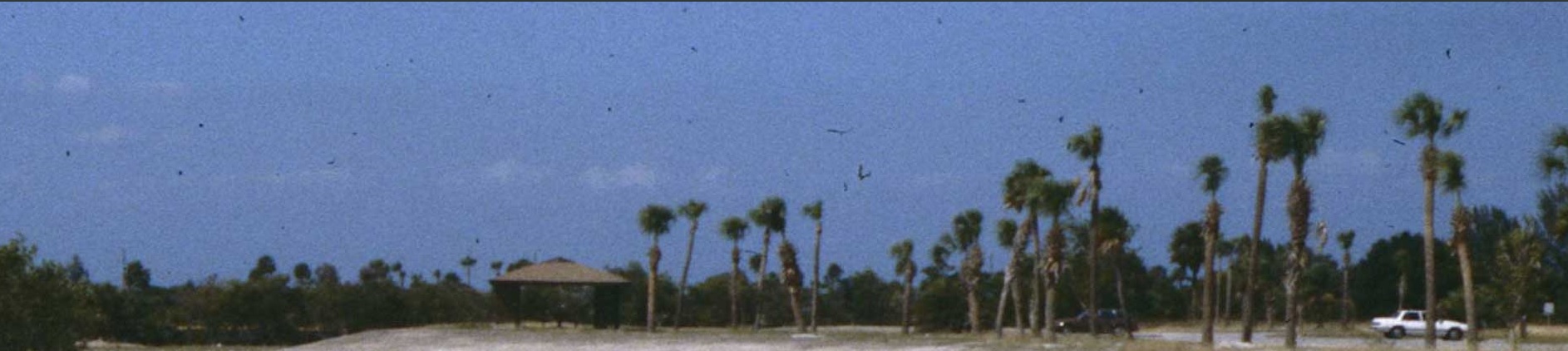
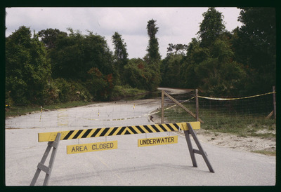
A flooded segment of Lake Park. The Lake Park tract is approximately 600 acres located on the southwest corner of Dale Mabry Highway and Van Dyke Road.
Alt Text
A yellow and black barricade with "AREA CLOSED" and "UNDERWATER" signs blocks a flooded roadway surrounded by trees and vegetation. In the background, a wooden gate and caution tape are visible.
Keywords
Environmental protection, Wildlife management, Wildland-urban interface, Hydric hammock, Signage graphics, Flood damage
Extent
1 color photograph
Subject: geographic
Hillsborough County (Fla.); Tampa (Fla.); Lake Park (Fla.)
Physical Collection
Environmental Lands Acquisition and Protection Program Collection
Digital Date
2021
Media Type
Color photographs
Identifier
E22-00454
Recommended Citation
Hillsborough County ELAPP, "Flooding at Lake Park, Tampa, Florida" (1980). Environmental Lands Acquisition and Protection Program Collection. Image 544.
https://digitalcommons.usf.edu/elapp/544
Rights Statement