
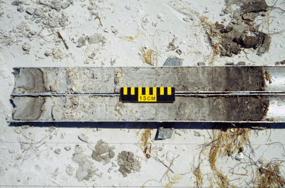
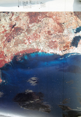
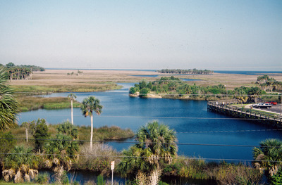
Richard A. "Skip" Davis, Jr. Collection of Coastal and Geologic Illustrations
Taken by Dr. Richard A. Davis, USF Department of Geology, this collection of slides depicts the impact of oil spills on the coastal regions of Florida. Dr. Davis is an Emeritus Distinguished Research Professor of Coastal Geology and Sedimentology at the Department of Geology, University of South Florida (USF), and a member of the USF's Coastal Research Laboratory.
Printing is not supported at the primary Gallery Thumbnail page. Please first navigate to a specific Image before printing.
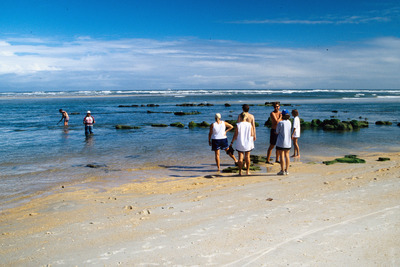
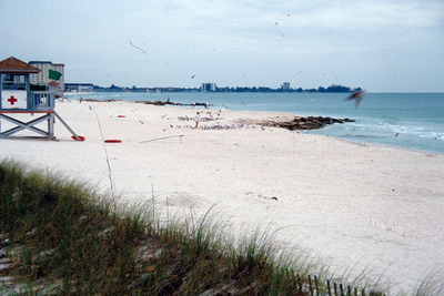
![2 [sed.] Populations near Matanzas Inlet, Fl](https://digitalcommons.usf.edu/davis_coastal/1079/preview.jpg)
![Erosional [scoop] Just S. of Blind Pass, Lee Co](https://digitalcommons.usf.edu/davis_coastal/1383/preview.jpg)

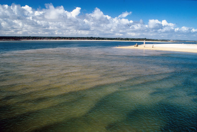
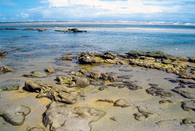
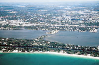
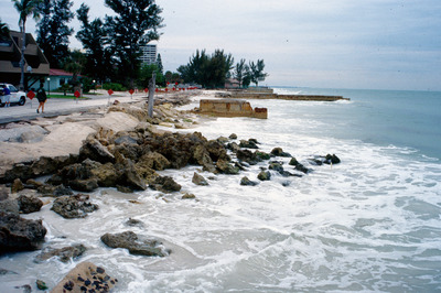
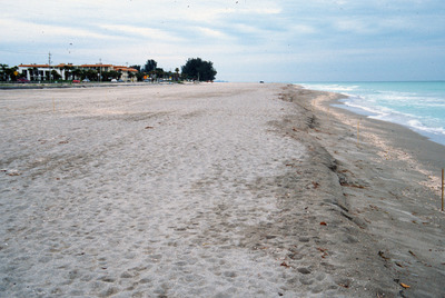
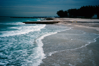
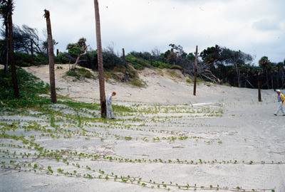
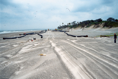
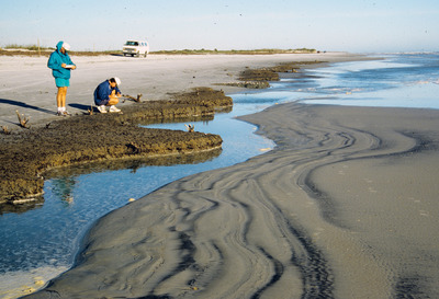
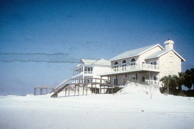
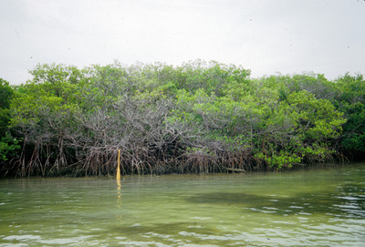
![Matanzas Inlet [1]](https://digitalcommons.usf.edu/davis_coastal/1330/preview.jpg)
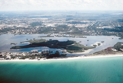
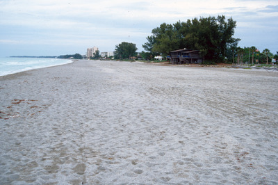
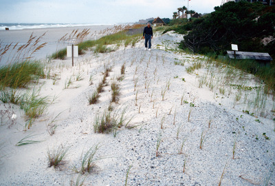
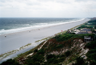
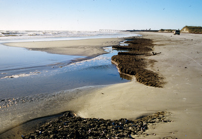
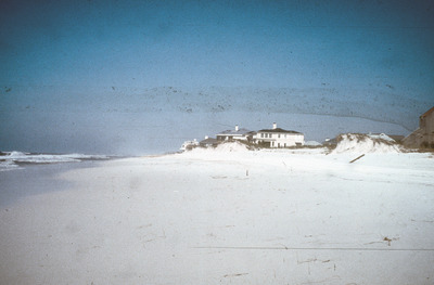
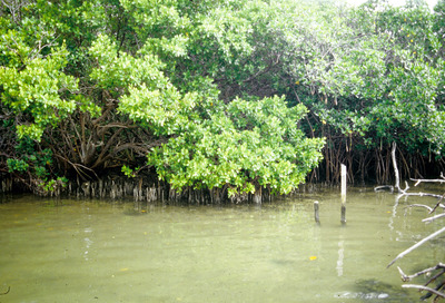
![Matanzas Inlet [2]](https://digitalcommons.usf.edu/davis_coastal/1331/preview.jpg)
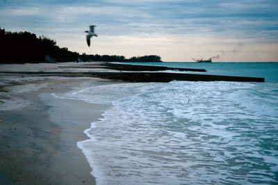
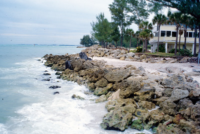
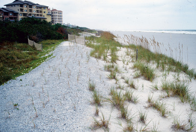
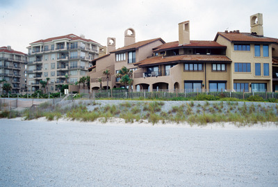
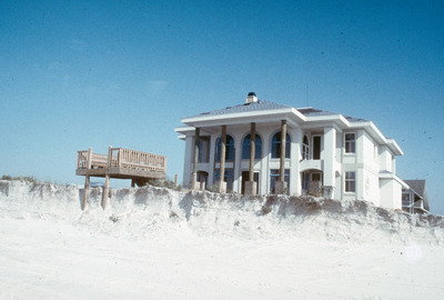
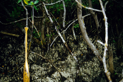
![Matanzas Inlet [3]](https://digitalcommons.usf.edu/davis_coastal/1333/preview.jpg)
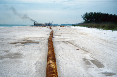
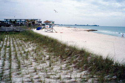
![Nourishment on N Longboat Key, Fl [1]](https://digitalcommons.usf.edu/davis_coastal/1427/preview.jpg)
![Nourishment on N Longboat Key, Fl [2]](https://digitalcommons.usf.edu/davis_coastal/1428/preview.jpg)

![Algal [mats] on Caladesi Washover Flat](https://digitalcommons.usf.edu/davis_coastal/1182/preview.jpg)
![Oyster Bank at Crystal River, Fla. [1]](https://digitalcommons.usf.edu/davis_coastal/1710/preview.jpg)
![Oyster Bank at Crystal River, Fla. [2]](https://digitalcommons.usf.edu/davis_coastal/1711/preview.jpg)
![Oyster Bank at Crystal River, Fla. [3]](https://digitalcommons.usf.edu/davis_coastal/1712/preview.jpg)
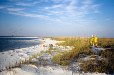
![[tidalite] '96 Field Trip](https://digitalcommons.usf.edu/davis_coastal/1850/preview.jpg)
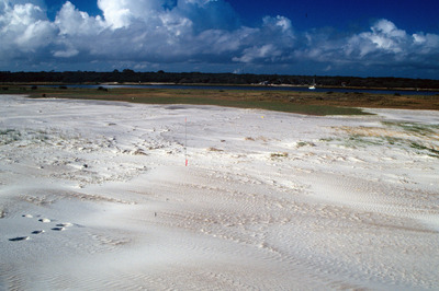
![Dune Erosion on Santa Rosa Island, Fl. [1]](https://digitalcommons.usf.edu/davis_coastal/1249/preview.jpg)
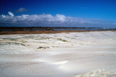
![Dune Erosion on Santa Rosa Island, Fl. [2]](https://digitalcommons.usf.edu/davis_coastal/1241/preview.jpg)
![Dune Erosion, Santa Rosa Island, Fl. [1]](https://digitalcommons.usf.edu/davis_coastal/1238/preview.jpg)
![Dune Erosion, Santa Rosa Island, Fl. [10]](https://digitalcommons.usf.edu/davis_coastal/1246/preview.jpg)
![Dune Erosion, Santa Rosa Island, Fl. [2]](https://digitalcommons.usf.edu/davis_coastal/1235/preview.jpg)
![Dune Erosion, Santa Rosa Island, Fl. [3]](https://digitalcommons.usf.edu/davis_coastal/1236/preview.jpg)
![Dune Erosion, Santa Rosa Island, Fl. [4]](https://digitalcommons.usf.edu/davis_coastal/1237/preview.jpg)
![Dune Erosion, Santa Rosa Island, Fl. [5]](https://digitalcommons.usf.edu/davis_coastal/1239/preview.jpg)
![Dune Erosion, Santa Rosa Island, Fl. [6]](https://digitalcommons.usf.edu/davis_coastal/1240/preview.jpg)
![Dune Erosion, Santa Rosa Island, Fl. [7]](https://digitalcommons.usf.edu/davis_coastal/1243/preview.jpg)
![Dune Erosion, Santa Rosa Island, Fl. [8]](https://digitalcommons.usf.edu/davis_coastal/1244/preview.jpg)
![Dune Erosion, Santa Rosa Island, Fl. [9]](https://digitalcommons.usf.edu/davis_coastal/1242/preview.jpg)
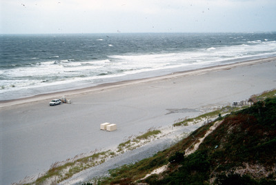
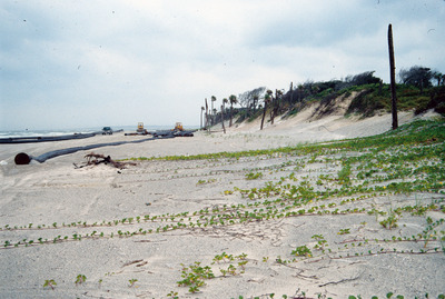
![[island] Washover on Santa Rosa Island](https://digitalcommons.usf.edu/davis_coastal/1905/preview.jpg)
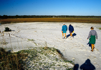
![Santa Rosa Island, Fl. [1]](https://digitalcommons.usf.edu/davis_coastal/1906/preview.jpg)
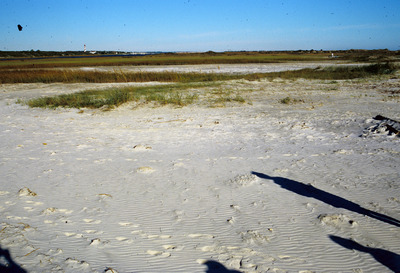
![Santa Rosa Island, Fl. [2]](https://digitalcommons.usf.edu/davis_coastal/1908/preview.jpg)
![Washover on Santa Rosa Island, Fl. [1]](https://digitalcommons.usf.edu/davis_coastal/1904/preview.jpg)
![Washover on Santa Rosa Island, Fl. [2]](https://digitalcommons.usf.edu/davis_coastal/1899/preview.jpg)
![Washover on Santa Rosa Island, Fl. [3]](https://digitalcommons.usf.edu/davis_coastal/1900/preview.jpg)
![Washover on Santa Rosa Island, Fl. [4]](https://digitalcommons.usf.edu/davis_coastal/1901/preview.jpg)
![Washover on Santa Rosa Island, Fl. [5]](https://digitalcommons.usf.edu/davis_coastal/1902/preview.jpg)
![Washover on Santa Rosa Island, Fl. [6]](https://digitalcommons.usf.edu/davis_coastal/1903/preview.jpg)

![Midnight Pass Ftd [1]](https://digitalcommons.usf.edu/davis_coastal/1409/preview.jpg)
![Midnight Pass Ftd [2]](https://digitalcommons.usf.edu/davis_coastal/1399/preview.jpg)


![Suwanee River [1] by Richard A. Davis](https://digitalcommons.usf.edu/davis_coastal/1854/thumbnail.jpg "Suwanee River [1] by Richard A. Davis")
![Suwanee River [2] by Richard A. Davis](https://digitalcommons.usf.edu/davis_coastal/1857/thumbnail.jpg "Suwanee River [2] by Richard A. Davis")


 by Richard A. Davis")


