

Richard A. "Skip" Davis, Jr. Collection of Coastal and Geologic Illustrations
Files
Download
Download Full Text (5.4 MB)
Preview
Creation Date
February 1973
Alt Text
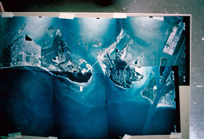
A large map of a coastal area with buildings and infrastructure, displayed on a table. The map shows various landforms and water bodies in blue and white tones.
Keywords
Barrier islands
Extent
1 panoramic photograph
Subject: geographic
Miami-Dade County (Fla.); Miami Beach (Fla.); Virginia Key (Fla.); Fisher Island (Fla.); Key Biscayne (Fla.); Atlantic Ocean; Biscayne Bay (Fla.)
Physical Collection
Media Type
Panoramic photographs
Identifier
D34-00375
Recommended Citation
Davis, Richard A., "Fisher Island to Key Biscayne, Florida" (1973). Richard A. "Skip" Davis, Jr. Collection of Coastal and Geologic Illustrations. Image 327.
https://digitalcommons.usf.edu/davis_coastal/327
Keywords
Barrier islands
Rights Statement

