
Richard A. "Skip" Davis, Jr. Collection of Coastal and Geologic Illustrations
Files
Download
Download Full Text (2.0 MB)
Preview
Creation Date
January 1977
Time Period
circa 1977-1999
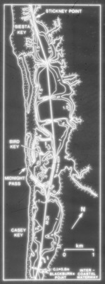
Alt Text
A black-and-white map showing the intricate waterways of a coastal area with labeled points such as Stickney Point, Caseys Key, and others. The map includes a scale for distance measurement in kilometers.
Keywords
Bathymetric maps, Index maps, Intracoastal waterways
Extent
1 black-and-white slide
Subject: geographic
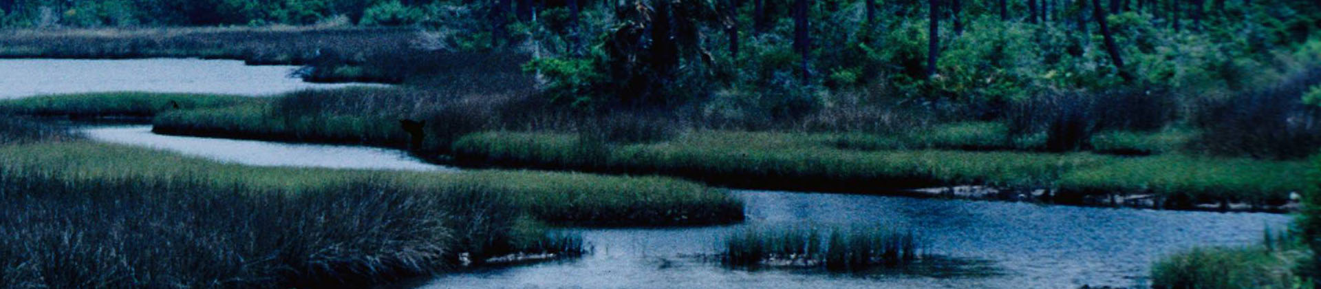
Sarasota County (Fla.); Sarasota (Fla.)
Physical Collection
Language
English
Media Type
Black-and-white photographs
Identifier
D34-00649
Recommended Citation
Davis, Richard A., "Slide, Bathymetry of Little Sarasota Bay, Florida" (1977). Richard A. "Skip" Davis, Jr. Collection of Coastal and Geologic Illustrations. Image 179.
https://digitalcommons.usf.edu/davis_coastal/179
Keywords
Bathymetric maps, Index maps, Intracoastal waterways
Rights Statement

