
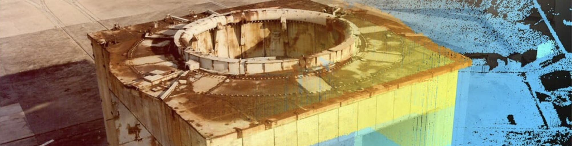
Cape Canaveral Space Force Station – 3D Historic Launch Complexes
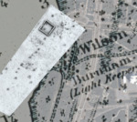
Burnham Family Cemetery in 3D
Abstract
Annotated cemetery 3D surface terrain map produced from terrestrial laser scanning at an early 19th and 20th Century settlement family cemetery at Cape Canaveral Space Force Station, Florida. This model allows researchers to look for subtle terrain features and elevation differences and provides millimetric spatial control to link surface and subsurface (geophysical) mapping information.
This paper has been withdrawn.
Rights Statement

