
Andean Archaeological Data Project - Images
Files
Download
Download Full Text (2.4 MB)
Preview
Creation Date
2014
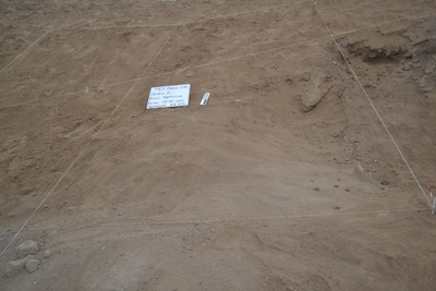
Alt Text
A view of a barren, rocky landscape with grid lines marked on the ground in string. There is a sign and a measurement scale in the upper left corner of the middle section of the grid. Scattered rocks are visible across the terrain.
Keywords
Archaeology
Extent
1 color photograph
Subject: geographic
South America; Perú; Ica (Perú : Region); Huaca Soto (Perú); Chincha Alta (Perú)
Media Type
Color photographs
Format
Digital Only
Identifier
H66-00111-00005
Creative Commons

This work is licensed under a Creative Commons Attribution-Noncommercial-No Derivative Works 3.0 License.
Recommended Citation
Stanish, Charles, "Unit 6 Surface" (2014). Andean Archaeological Data Project - Images. Image 556.
https://digitalcommons.usf.edu/andean_adp/556
Keywords
Archaeology
