
Andean Archaeological Data Project - Images
Files
Download
Download Full Text (2.5 MB)
Preview
Creation Date
2014
Alt Text
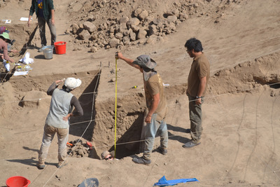
An aerial view of a large excavation site with sandy soil and visible layers. The area is marked by strings for measurement or demarcation purpose and there is a measurement stick visible in one of the middle sections and a brush can be seen lying to the side.
Keywords
Archaeology
Extent
1 color photograph
Subject: geographic
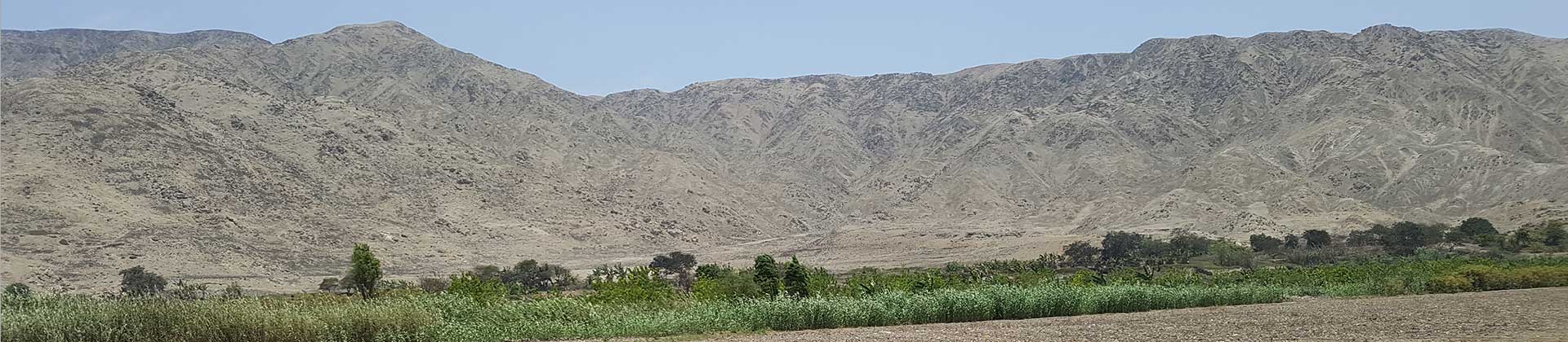
South America; Perú; Ica (Perú : Region); Huaca Soto (Perú); Chincha Alta (Perú)
Media Type
Color photographs
Format
Digital Only
Identifier
H66-00115-00011
Creative Commons

This work is licensed under a Creative Commons Attribution-Noncommercial-No Derivative Works 3.0 License.
Recommended Citation
Stanish, Charles, "Measuring Grater Bowl" (2014). Andean Archaeological Data Project - Images. Image 397.
https://digitalcommons.usf.edu/andean_adp/397
Keywords
Archaeology
