
Karst in 3D
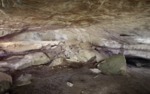
Rock Outcrop with Carving, Russell Cave
Files
View 3D Model
Description
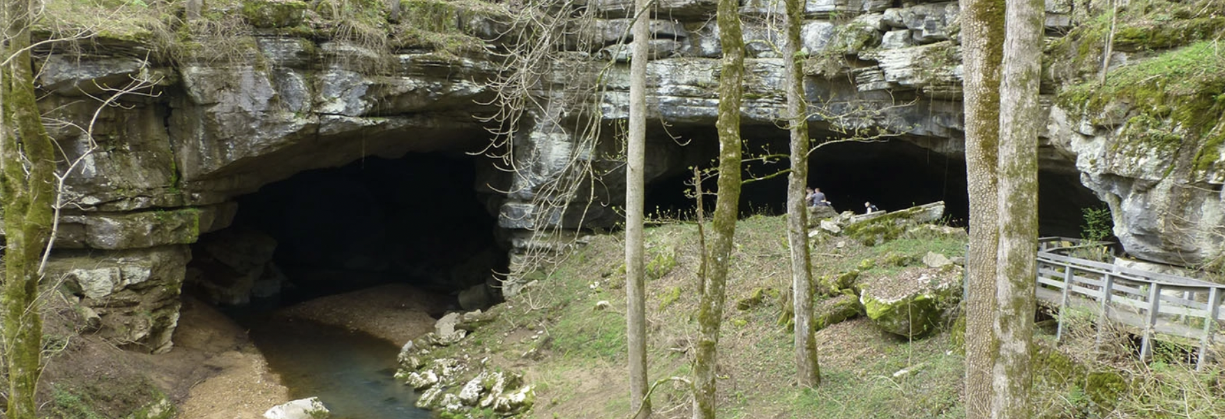
This rock area was digitized using an Artec 3D laser scanner as part of a 3D terrestrial LiDAR and spatial documentation survey of the Russell Cave National Monument site in Alabama. Russell Cave is an archaeological site with one of the most complete records of prehistoric cultures in the Southeast, dating from 10,000 B.C. to 1650 A.D.
The rock surface has carved elements and writing that are hard to discern. The upper right hand portion of the rock was found to have the number 34 carved on the surface.
We are working with the National Park Service to provide detail topographic documentation of the entire rock shelter site in an effort to better understand and preserve the cave and its cultural resources. The cave has experienced impacts from erosion and modifications that have occurred to the site. The 3D survey will help managers and archaeologists better protect these fragile karst resources.
Publication Date
2016
Recommended Citation
University of South Florida Libraries, "Rock Outcrop with Carving, Russell Cave" (2016). Karst in 3D. 1.
https://digitalcommons.usf.edu/karst_in_3d/1
