

Florida Maps Collection
Alternative Title
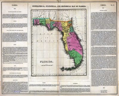
Geographical, statistical, and historical map of Florida
Files
Download
Download Full Text (1.4 MB)
Preview
Publisher
s.n.
Creation Date
1827
Time Period
1827
Keywords
Florida
Subject: geographic
Florida
Holding Location
University of South Florida Library
Language
English
Format
Map
Identifier
U15-0013
Recommended Citation
Drayton, Joseph, "Florida" (1827). Florida Maps Collection. Image 66.
https://digitalcommons.usf.edu/fl_maps_collection/66
Keywords
Florida
Rights Statement

