

Florida Maps Collection
Files
Download
Download Full Text (8.2 MB)
Preview
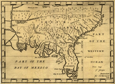
Publisher
for I.F. Bernard
Creation Date
1737
Time Period
1737
Keywords
Southern States
Subject: geographic
Southern States
Holding Location
University of South Florida Library
Language
English
Format
Map
Identifier
U15-9004
Recommended Citation
Bernard, Jean-Frédéric, "New map of Georgia" (1737). Florida Maps Collection. Image 166.
https://digitalcommons.usf.edu/fl_maps_collection/166
Keywords
Southern States
Rights Statement

