
Center for Digital Heritage and Geospatial Information Faculty and Staff Publications
Terrestrial Lidar
Document Type
Book Chapter
Publication Date
2018
Keywords
terrestrial lidar, laser scanning, digital modeling, photogrammetry, archaeological surveying, aerial laser scanning, reality capture
Digital Object Identifier (DOI)
https://doi.org/10.1002/9781119188230.saseas0575
Abstract
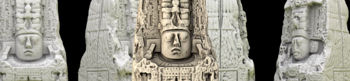
Terrestrial lidar is an emerging technology in remote sensing, being used to digitally document, survey, and accurately represent in three dimensions, archaeological sites, features, and objects. Light detection and ranging (lidar) can be performed at a number of scales and with a variety of platforms and equipment types. Scalar consideration can be landscape‐level using space‐based and aerial surveys, as well as ground‐based and close‐range applications documenting built environments, features, or artifacts. New developments in low‐altitude aerial survey, covering large landscape areas, are also occurring with advances in unmanned aerial vehicles (UAVs), which can accommodate lidar, photogrammetry, and other imaging sensors and applications. These survey and documentation strategies are becoming more commonplace in the archaeological and heritage preservation toolkit as prices for hardware and software continue to come down, ease of use and post‐processing and computer capabilities improve, and archiving, accessibility, and file‐sharing formats are resolved.
Was this content written or created while at USF?
Yes
Citation / Publisher Attribution
Terrestrial Lidar, in S. L. López Varela (Ed.), The Encyclopedia of Archaeological Sciences, Wiley
Scholar Commons Citation
Collins, Lori D., "Terrestrial Lidar" (2018). Center for Digital Heritage and Geospatial Information Faculty and Staff Publications. 18.
https://digitalcommons.usf.edu/dhhc_facpub/18
