
Early Printed Map Collection
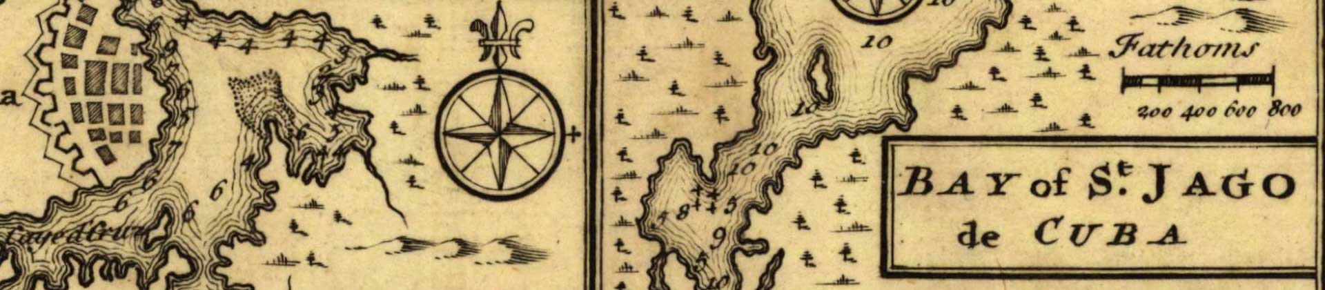
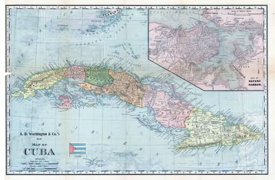
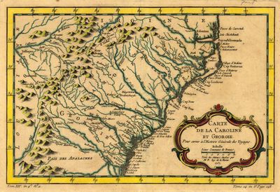
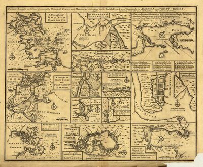
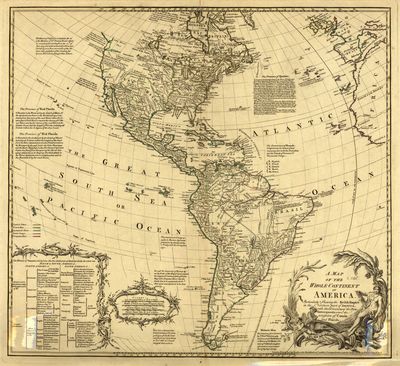
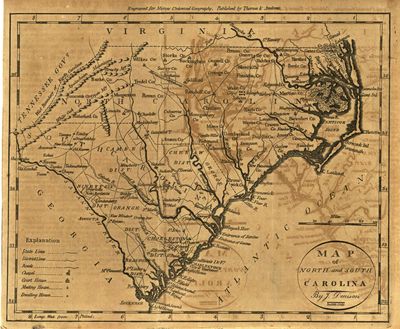
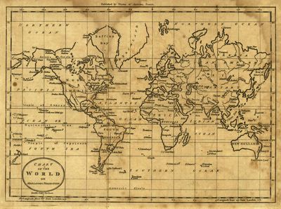
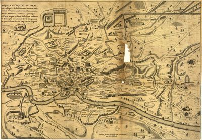
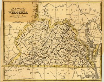
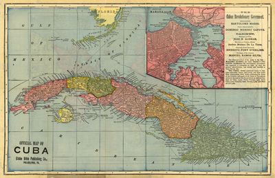
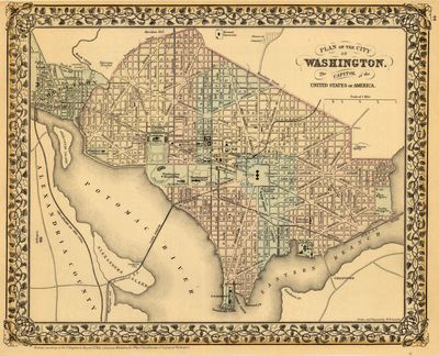
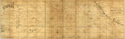
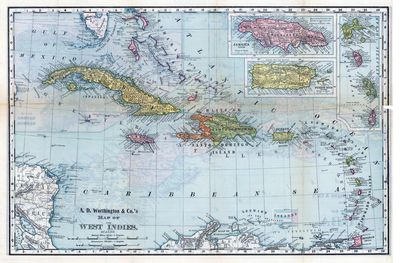
The Early Printed Map Collection contains historically significant and unusual maps, primarily of Florida and southeastern North America, but extending to South America, Cuba, Puerto Rico, and Europe. While most maps in the collection date from the 18th century, there are examples of sixteenth century printed maps of the Americas as well.
Those interested in maps may also wish to browse our Florida Map Collection.
Printing is not supported at the primary Gallery Thumbnail page. Please first navigate to a specific Image before printing.

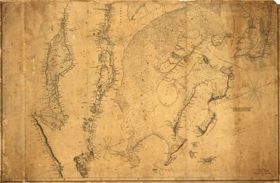

![Virginiae partis australis, et Floridae partis orientalis, interjacentiumq[ue] regionum nova descriptio](https://digitalcommons.usf.edu/fl_maps_early/1002/preview.jpg)


![Virginiae partis australis, et Floridae partis orientalis, interjacentiumq[ue] regionum nova descriptio by Willem Janszoon Blaeu](https://digitalcommons.usf.edu/fl_maps_early/1002/thumbnail.jpg "Virginiae partis australis, et Floridae partis orientalis, interjacentiumq[ue] regionum nova descriptio by Willem Janszoon Blaeu")
