

Florida Maps Collection
Files
Download
Download Full Text (1.2 MB)
Preview
Publisher
s.n.
Time Period
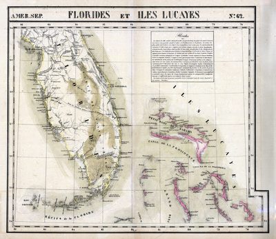
1827?
Keywords
Florida, Bahamas
Subject: geographic
Florida, Bahamas
Holding Location
University of South Florida Library
Language
French
Format
Map
Identifier
U15-0032
Recommended Citation
Vandermaelen, Philippe, "Florides et Iles Lucayes" (2021). Florida Maps Collection. Image 73.
https://digitalcommons.usf.edu/fl_maps_collection/73
Keywords
Florida, Bahamas
Rights Statement

