

Florida Maps Collection
Alternative Title
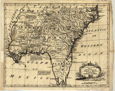
New and correct map of the provinces of North and South Carolina, Georgia and Florida
Files
Download
Download Full Text (1.2 MB)
Preview
Publisher
Printed for A. Millar
Creation Date
1762
Time Period
1762
Keywords
Southern States
Subject: geographic
Southern States
Holding Location
University of South Florida Library
Language
English
Format
Map
Identifier
U15-0010
Recommended Citation
Gibson, J, "A new & correct map of the provinces of North & South Carolina, Georgia & Florida" (1762). Florida Maps Collection. Image 65.
https://digitalcommons.usf.edu/fl_maps_collection/65
Keywords
Southern States
Rights Statement

