

Florida Maps Collection
Alternative Title
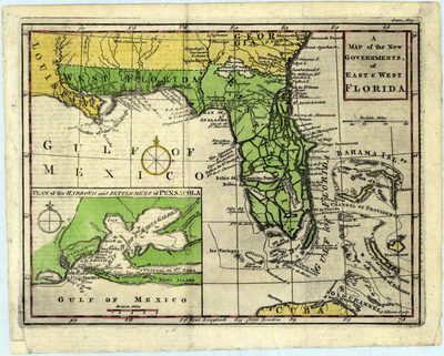
Map of the new governments of East and West Florida
Files
Download
Download Full Text (1.1 MB)
Preview
Publisher
Gentlemen's Magazine
Creation Date
1763
Time Period
1763
Keywords
Pensacola Bay Region (Fla.), Florida, Southern States
Subject: geographic
Pensacola Bay Region (Fla.), Florida, Southern States
Holding Location
University of South Florida Library
Language
English
Format
Map
Identifier
U15-0009
Recommended Citation
Gibson, J, "A map of the new governments of East & West Florida" (1763). Florida Maps Collection. Image 64.
https://digitalcommons.usf.edu/fl_maps_collection/64
Keywords
Pensacola Bay Region (Fla.), Florida, Southern States
Rights Statement

