

Florida Maps Collection
Alternative Title
Florida
Files
Download
Download Full Text (1.5 MB)
Preview
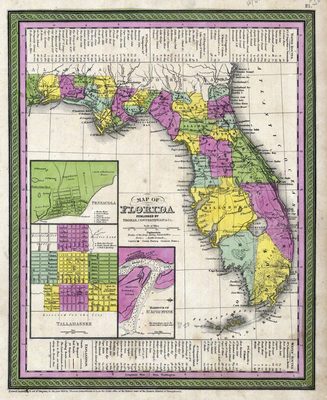
Publisher
Thomas, Cowperthwait & Co.
Creation Date
1850
Time Period
1850
Keywords
Florida
Subject: geographic
Florida
Holding Location
University of South Florida Library
Language
English
Format
Map
Identifier
U15-0012
Recommended Citation
Thomas, Cowperthwait & Co, "Map of Florida" (1850). Florida Maps Collection. Image 6.
https://digitalcommons.usf.edu/fl_maps_collection/6
Keywords
Florida
Rights Statement

