

Florida Maps Collection
Files
Download
Download Full Text (1.3 MB)
Preview
Publisher
J. Cary
Creation Date
1806
Time Period
1806
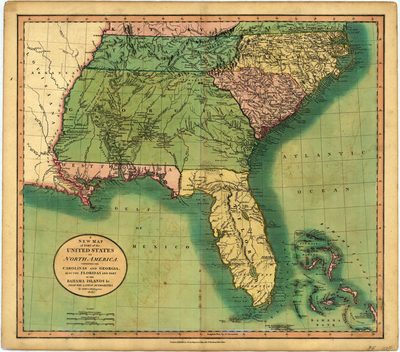
Abstract
containing the Carolinas and Georgia, also the Floridas and part of the Bahama Islands &c. : from the latest authorities
Keywords
Southern States, Bahamas
Subject: geographic
Southern States, Bahamas
Holding Location
University of South Florida Library
Language
English
Format
Map
Identifier
U15-0026
Recommended Citation
Cary, John, "A new map of part of the United States of North America" (1806). Florida Maps Collection. Image 50.
https://digitalcommons.usf.edu/fl_maps_collection/50
Keywords
Southern States, Bahamas
Rights Statement

