

Florida Maps Collection
Alternative Title
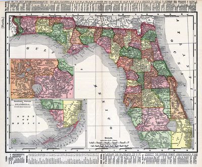
Rand McNally & Co.'s new 11 x 14 map of Florida
Files
Download
Download Full Text (1.6 MB)
Preview
Publisher
Rand McNally
Time Period
c1895
Keywords
Florida
Subject: geographic
Florida
Holding Location
University of South Florida Library
Language
English
Format
Map
Identifier
U15-0088
Recommended Citation
Rand McNally and Company, "Florida" (2021). Florida Maps Collection. Image 21.
https://digitalcommons.usf.edu/fl_maps_collection/21
Keywords
Florida
Rights Statement

