

Florida Maps Collection
Files
Download
Download Full Text (1.5 MB)
Preview
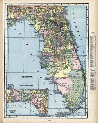
Publisher
Geo. F. Cram
Time Period
1900?
Keywords
Florida
Subject: geographic
Florida
Holding Location
University of South Florida Library
Language
English
Format
Map
Identifier
U15-0086
Recommended Citation
George F. Cram Company, "Florida" (2021). Florida Maps Collection. Image 19.
https://digitalcommons.usf.edu/fl_maps_collection/19
Keywords
Florida
Rights Statement

