
Skip Gandy Collection of Florida Photographs
Tampa Skyline
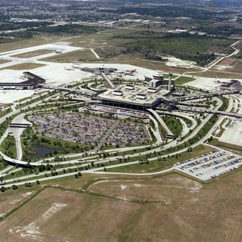
Aerial photograph of terminals and airport taken during the day. A
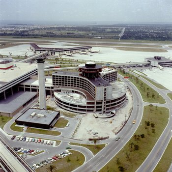
Aerial photograph of an almost completed Mariott Hotel and revolving restaurant. A

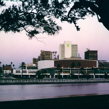
Tampa Skyline 1964-1968-1973
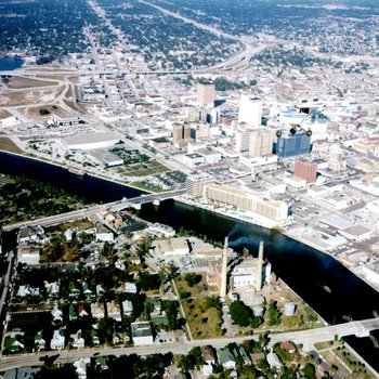
Curtis Hixon Hall and Hillsborough River
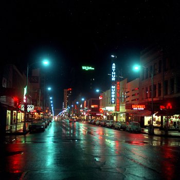
Tampa Downtown at Night A
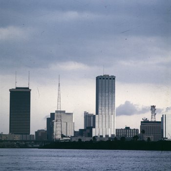
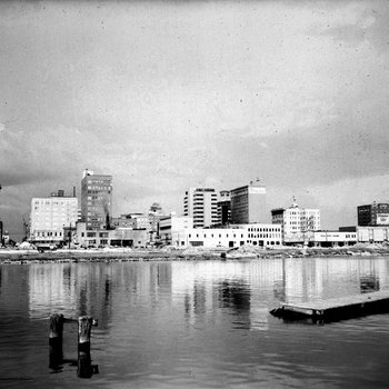
Tampa Skyline in the 1960s

Aerial night shot of downtown Tampa
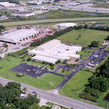
Tampa Armature Works, Inc. (TAW) A
Tampa Downtown December 1969
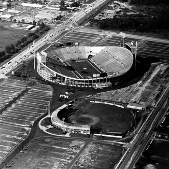
Tampa Stadium
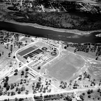
Tampa Water Works August 1963